 LibreTerrain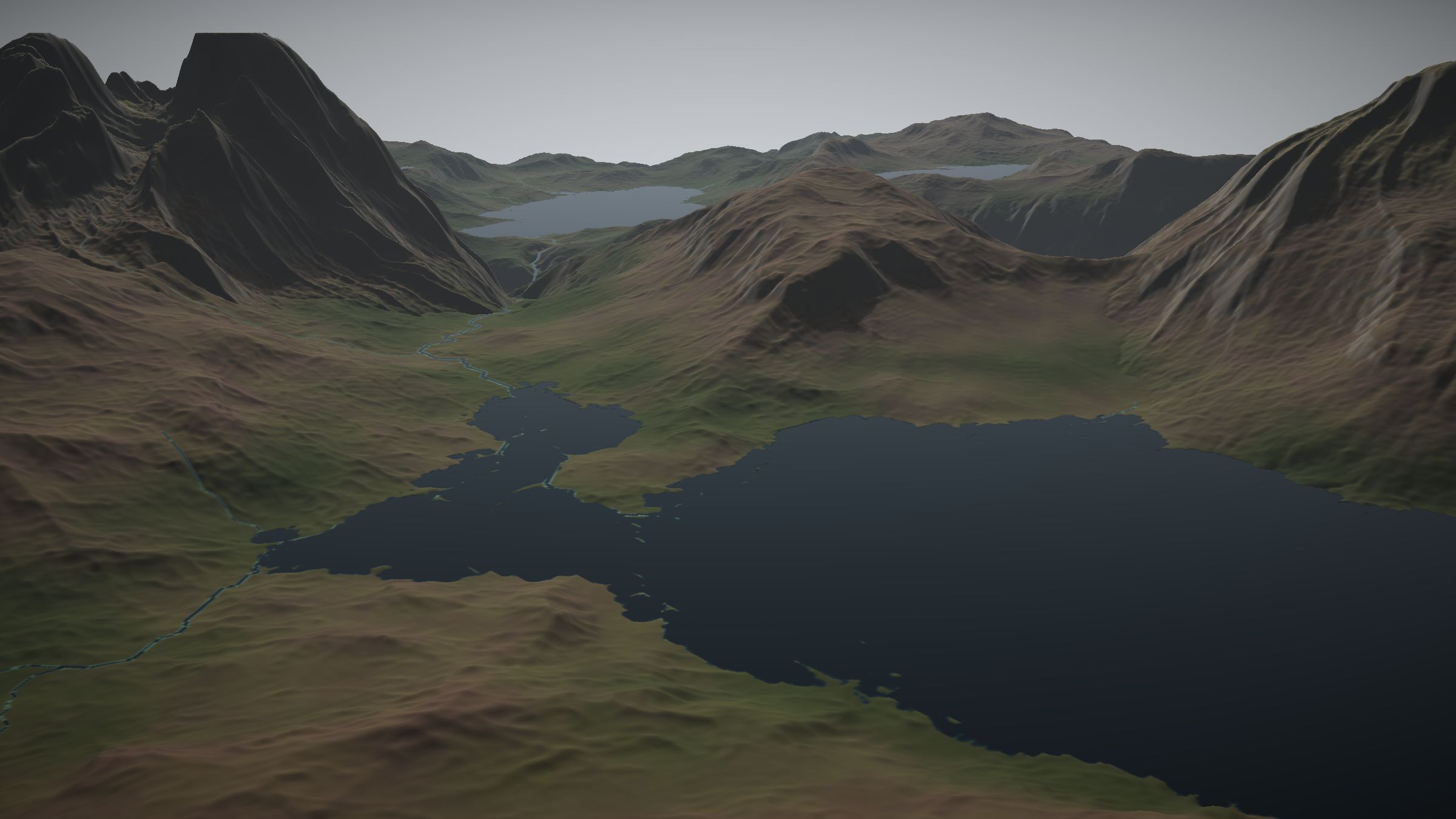
LibreTerrain 2026.1
Build worlds,
node by node.
A free, open-source terrain authoring application. Shape, erode, colour and populate landscapes, then take them into Unreal Engine, Blender, Godot or any other tool.
Windows · macOS · Linux
Exports to
- Unreal Engine
- Blender
- Godot
- EXR · PNG · CSV
Everything a landscape needs, in one graph. Land, water, erosion, colour and vegetation, with a Rust engine underneath and every output ready for the engine you ship in.
- 60
- Nodes
- 65,537²
- Largest build
- GPU
- Accelerated, with CPU fallback
- Free
- Open source, MIT / Apache-2.0
Click a node to preview it. A sketch generated in your browser.
Node graph
Non-destructive, from the first shape to the last blade of grass.
Build a landscape from primitives, noise, landforms, filters and simulations. Every node shows a live thumbnail and any output can be previewed and exported. After an edit, only the nodes downstream are recomputed.
- 60 nodes across 11 categories
- Terrain, Vegetation and Colour graphs
- Custom nodes and comments
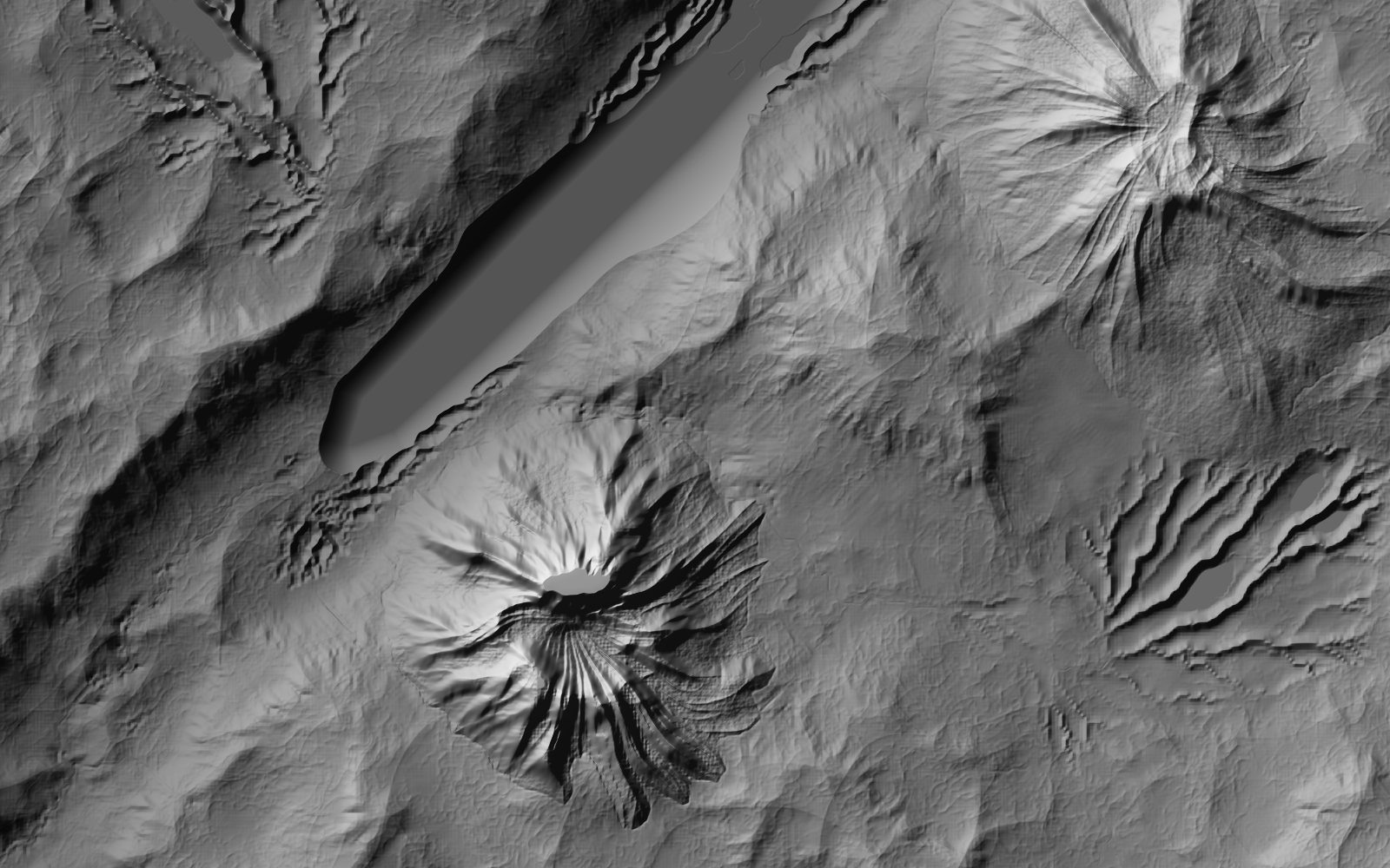
Hydraulic and thermal erosion
Simulation
Erosion that reads like geology.
Hydraulic erosion carves branching valleys over geological time and drops sediment where rivers slow. Thermal erosion builds scree. Rock hardness gives you stepped cliffs, and every pass outputs flow, wear and deposition maps.
- Hydraulic and thermal erosion
- Rock hardness strata
- Flow, wear and deposition masks
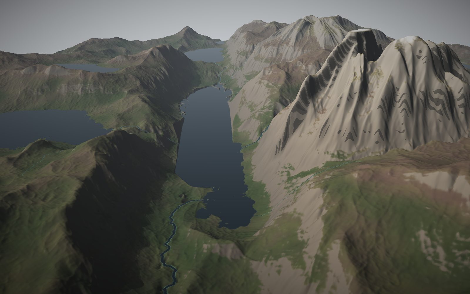
Rivers, lakes and sea lochs
Hydrology
Rivers, lakes, sea and snow.
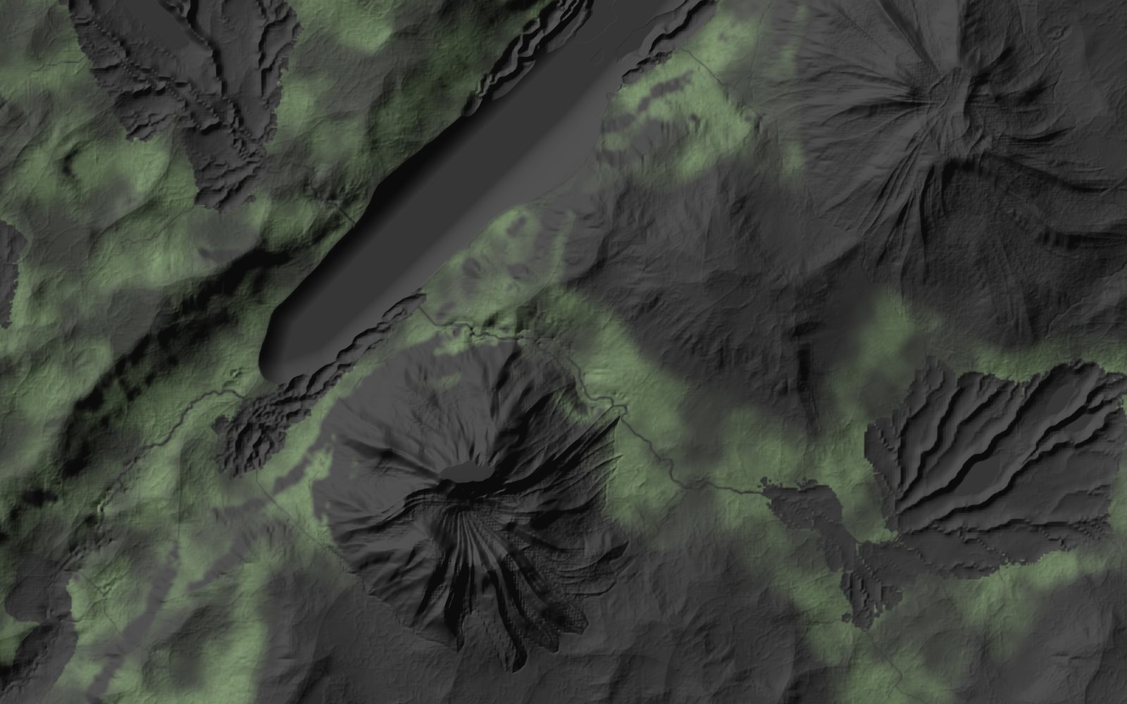
Rivers carve channels that widen downstream, lakes fill hollows to their spill level, the sea floods from the world edges and wears the coast into beaches, and snow settles by altitude, slope and shade.
- Water surfaces exported separately
- Shoreline, shallows and riverbank masks
- Snow lines that respect the sun
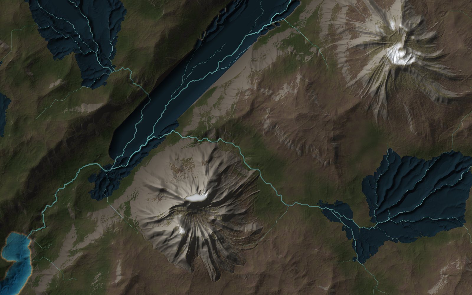
Colour map from the Colour tab
Colour & texture
A dedicated graph for colour.
Colour by altitude, slope or facing, layer materials through masks, or bring in aerial imagery. Then produce splat maps, packed masks and normal maps for your engine.
- Natural gradient presets
- Splat maps with up to 8 layers
- OpenGL and DirectX normal maps
Tree density from a Trees population
Ecosystems
Vegetation that knows where it grows.
Trees, shrubs and grass respond to slope, altitude, water, snow and each other. Populations compete for ground, and rocks collect on scree. Export density masks for painting, and points for instancing.
- Species presets
- Chained populations
- CSV and JSON point export
Export
One click. Every output. The right scale.
Mark the outputs you want and press Build. LibreTerrain writes heightmaps, masks, colour maps and vegetation points at full resolution, with a build.json that the import helpers for Unreal Engine, Blender and Godot read to place everything in metres.
| build.json | Manifest | JSON |
| snow-n_0015_height_2049.exr | Heightfield | EXR 32 |
| snow-n_0015_height_2049.png | Heightfield | PNG 16 |
| rivers-n_0012_river_2049.png | Mask | PNG 16 |
| sea-n_0014_shoreline_2049.png | Mask | PNG 16 |
| wetness-n_0016_wetness_2049.png | Mask | PNG 16 |
| trees-n_001b_density_2049.8bit.png | Density | PNG 8 |
| trees-n_001b_points_2049.csv | Points | CSV |
| splat_map-n_0038_weights_1_4_2049.8bit.png | Splat | PNG 8 |
| normal_map-n_0039_out_2049.8bit.png | Normals | PNG 8 |
And the details that make it a tool you live in.
Draw on the map
Block out continents, islands and plateaus with polygons, straight on the 2D map.
Resolution independent
Every size is in metres. Preview at 513², build at 16K with the same result.
GPU accelerated
Heavy nodes run on the GPU, with a full CPU fallback for older hardware.
Masks everywhere
Slope, curvature, occlusion, flow and wetness drive any setting with a mask port.
Custom nodes
Turn a group of nodes into one reusable node, and label stages with comments.
Tiled builds
Builds up to 65,537², written as single images or tiles for World Partition.
Undo everything
Every graph, setting and world change can be undone, including an AI assistant’s.
Stable projects
Projects saved in 2026.1 open with the same result in every later release.
AI assistants
Work alongside your AI assistant.
Assistants that speak the Model Context Protocol, such as Claude Code, Claude Desktop, Cursor and VS Code, can read the graph, add and connect nodes, look at the terrain and start builds while you watch. Each change is one undo step. It listens on your computer only, and one switch makes it read-only.
Connect an assistant$ claude mcp add --transport http libreterrain \ http://127.0.0.1:17428/mcp > Add a sea loch to the west, erode the highlands and plant pinewoods in the sheltered glens.
Gallery
See the galleryFree. Open source.
No strings attached.
LibreTerrain is dual-licensed MIT and Apache-2.0. There's no licence key, no subscription and no edition to upgrade to, and what you make is yours to use commercially. It's built in the open with a Rust engine and a Godot 4 editor, and contributions are welcome.
Start building.
Download LibreTerrain for Windows, macOS or Linux. Nothing else to install.